BIM, Construction & Civil Software
Develop BIM and construction software with MeshLib SDK — turn massive site scans into clean, lightweight, coordinated geometry.
Challenge
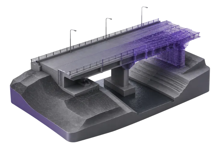
AEC teams manage huge multi-contractor scenes for clash detection, ingest inconsistent CAD and scan geometry, merge LiDAR terrain with design models, track material removal and validate safe-zone compliance — all while keeping enormous scenes responsive.
Solution

Point Cloud to Mesh
Convert LiDAR and photogrammetry site scans into usable, watertight surfaces.

Simplification & LOD Generation
Build lightweight levels of detail for machinery and buildings so large coordinated scenes stay responsive.

Collision & Intersection Detection
Run static clash detection across multiple contractor models.

Boolean Operations & Slicing
Merge scanned terrain with CAD and cut sections and silhouettes.

Distance Measurement & Mesh Healing
Compare periodic scans to track material removal and progress, and repair imported geometry with missing or inconsistent data.
Outcome
With MeshLib, construction and BIM software turns raw reality-capture data into coordinated, lightweight models — enabling faster clash detection, progress tracking and as-built comparison across large projects.
Real-World Industry Usage
AEC teams already build on MeshLib. At Henning Larsen Architects, the computational-design team uses MeshLib for geometry processing, interactive Booleans, point-cloud manipulation and curve offsetting — powering terrain modeling, stormwater-flow analysis and wind-flow visualization across architecture and landscape projects.